Weed Cordons at Otaramarae
August 30, 2021
Fishing Season Opening Date
August 31, 202128 August 2021
Lake levels have generally been held within the normal operational range since late April. However, there have been a couple of glitches.
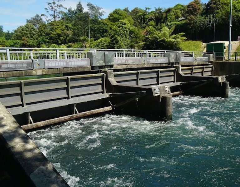
Lake Rotoiti lake levels have been challenged by various long dry spells and some significant short bursts of rainfall since April. For the most part, levels have remained within the normal operating range RL279.10 - 279.20 metres above Moturiki Datum over this period excepting for a week or so in late June when the Okere gates arguably remained open for too long after a significant rainfall event and again more recently as noted below.
During the latter part of August, Rotoiti lake levels fell below the normal operating range RL279.10 – 279.20. This was due primarily to the distinct lack of rainfall over this period and the operational requirement to prevent reflux (backflow of water) around the Ohau Channel Wall. Given these circumstances, BoPRC decided to take the opportunity with falling levels to carry out the annual ‘winter drawdown’ as required by the existing Operational Rules ( a current recommendation for this to be discontinued is under consideration). Regrettably, Council was remiss in not public notifying the event which is mandatory for any decision to implement discretionary drawdown of lake levels below the operating range. Consequently, a formal complaint was lodged by the Lake Rotoiti Classic and Wooden Boat Association. This has been acknowledged by BoPRC and an apology issued.
For clarity, a Consent priority now requires precedence for Okere/Kaituna River outflows to be equal to or greater than Ohau Channel inflows to avert reflux (backflow of nutrient laden Lake Rotorua water into Lake Rotoiti), aiding the enhancement of water quality in Lake Rotoiti. This regime applies under all weather situations, therefore in times of extended drought, Lake Rotoiti levels may continue to fall well below the normal operational minimum as has occurred in recent summers. Flow rates on the Ōhau Channel and through the Okere Gates are monitored at BoPRC by telemetry using NIWA’s lake level recorder at Mission Bay on Lake Rotorua and the Taaheke River Gauge Station on the Kaituna River, located downstream of the Control Gates.
Any incidence of reflux around the Ohau Channel Wall triggers an alert at BoPRC which prompts an immediate adjustment to gate settings.
BoPRC’s revised application for the temporary (3-year) variation to Rotoiti lake levels continues to await a final recommendation from the independent consultant agency and subsequent approval by BoPRC’s Regulatory Arm. There is some indication that an outcome is not too far away.
The annual meeting of the Rotorua Te Arawa Lakes Operational Liaison Group (RTALOLG) was held on 5 August 2021. The Group was formed as a condition of the 2012 Resource Consent Renewal to provide for ongoing discussion and feedback in respect of lake level management and control. RTALOLG is comprised of various interest groups including LRCA which currently has two nominated representatives ( Jim Stanton and Hilary Prior). Minutes of the meeting can be found HERE.
A reminder that you can access data and information regarding Rotoiti lake levels HERE. Dropdown from ‘Data’ and click on ‘Data Set’, then use the dropdown from ‘Location’ and select ‘FL289316 Lake Rotoiti at Okawa Bay’. Alternative date periods can be selected in the ‘Date: Latest Data’ menu.


